Southland’s Natural Heritage

Northern Southland is home to a special landscape nestled between the wetter Fiordland and Southland Plains areas, and drier Central Otago, and features rich and unique natural heritage.

Post Glacial
As New Zealand’s post glacial climate warmed rapidly, mixed podocarp forest spread across the Northern Southland area extending into inland valleys, replacing the mosaic of grassland, shrubland, and low forest. Māori people moved through the area in search of food and to locate sources of stone such as the precious pounamu (greenstone) and pakohe (argillite), highly valued for tool making.

At dry inland sites, where there were periodic natural fires, a celery pine, bog pine, mountain totara forest was present on mountains, while shrubland, wetlands and grassland were present on valley floors, such as the Waimea Plains.

Northern Southland’s diverse ecosystems range from tussockland, shrubland, wetland, beech forest, podocarp/broadleaf forest, alpine and sub-alpine areas.

1900’s onwards
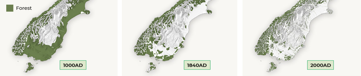
As more land was cleared for agriculture, tussock became more prevalent as it regenerated faster after fires, while remnants of forests remained in gullies and rocky areas. Since the early to mid 1900s, agriculture has expanded rapidly, with more than 90% of former lowland forested areas now in pastoral land.

Present day
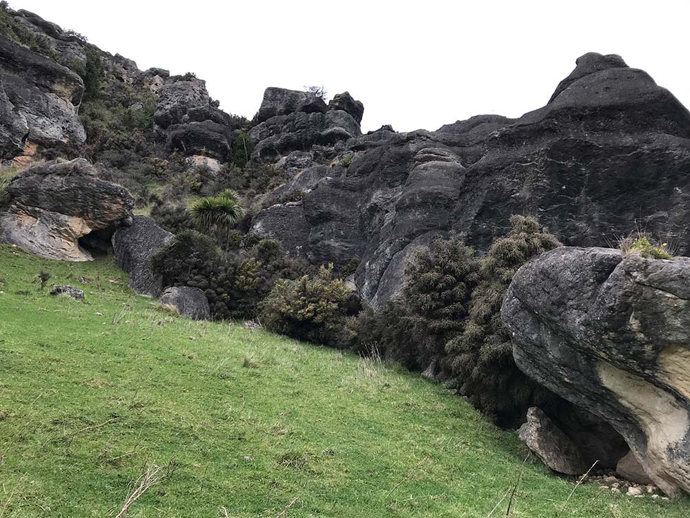
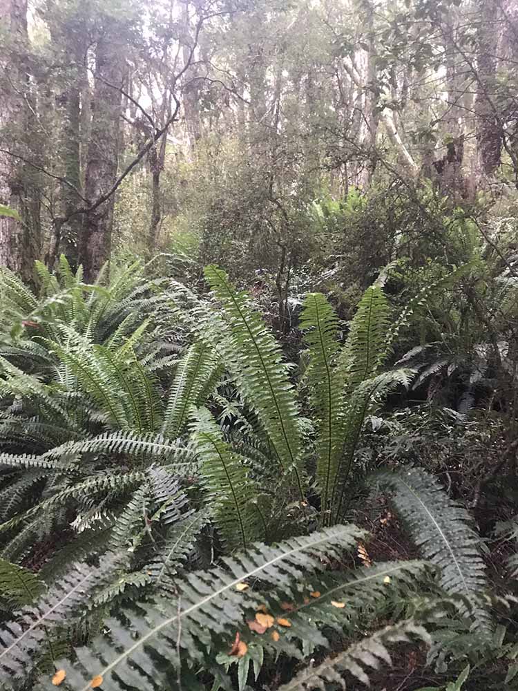
Today, most of Southland’s remaining indigenous forest land is protected. Special natural spaces include the Eyre Mountains (Taka Rā Haka) Conservation Park which spreads across more than 65,000ha of forest, open tops, tarns and river valleys, and includes a rugged mountain range that climbs up to 2000m (the highest peaks in Southland outside of Fiordland). Māori named the area in reference to the setting sun on the mountain tops at day’s end, and have strong cultural and spiritual connections to the area.

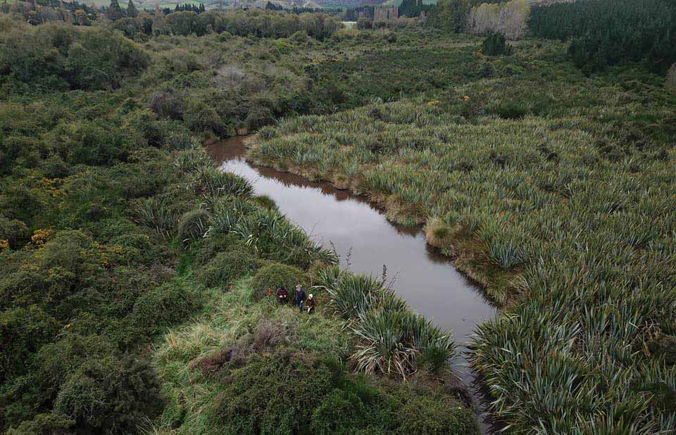
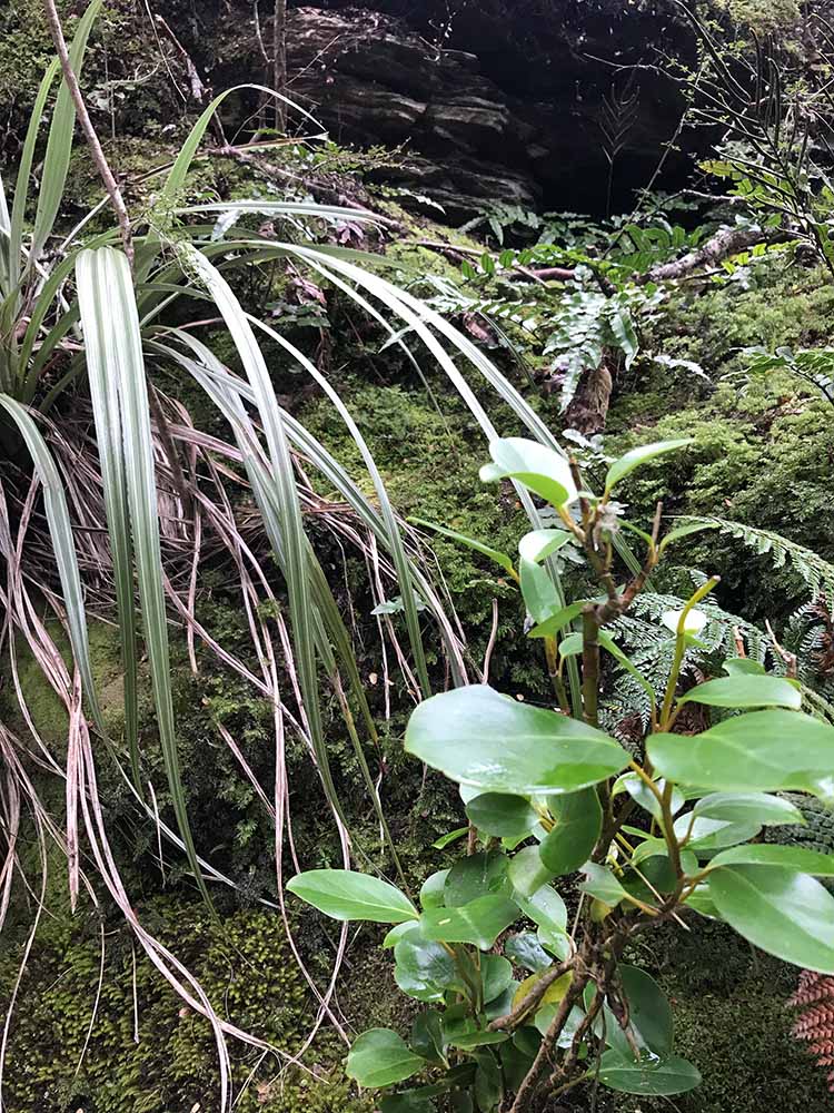
A great variety of flora and fauna call this area home, sandwiched between the dry schist country of Otago and the rainforests of Fiordland. Bowl-shaped basins, scree slopes, alpine tarns, and wetlands are typical features of this area.

Scrub / Shrubland. A fantastic variety of plants can be found amongst the rockfaces at Castledown’s limestone cliffs
Castledown’s Wetland - wetland restoration project by NZ Rural Women
Podocarp forest at Cayford Track, Dipton. Home to a diverse range of plants and trees, some estimated to be 1000+ years old.
Diverse under-story plants in Beech forest at Piano Flat

Did you know?

Kā Rā-o-Takitimu – “The Sails of Takitimu” – is the traditional Māori name for the Waimea Plains in Murihiku Southland.

Ōteparawa is the original spelling for Parawa, a farming community alongside the upper Mataura River. Ngāi Tahu kaumātua recorded Ōteparawa as a kāinga mahinga kai (food-gathering place) where weka were gathered.

During the late 1800’s and early 1900’s European surveyors set fires as they traveled through the region, destroying tussock and shrubland to make travel with horses easier.

Since the early to mid 1900’s we have lost 90% of former lowland forested areas, and since the mid-1800’s approximately 90% of wetlands.

Both Haast eagle (pouākai / Hieraaetus moorei) and moa bones have been found at Castlerock near Dipton, suggesting the area was once a hunting ground for the now-extinct giant bird of prey.

Deforestation over the last 1000 years. Images from www.teara.govt.nz